Topography Meaning
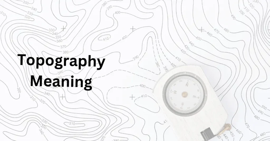
Learn about Topography meaning. Have you ever wondered what makes the land around us look the way it does? From rolling hills and deep valleys to flat plains and towering mountains, the natural features of our Earth shape everything we see.
This brings us to the topic of “topography meaning“—which refers to the natural features of land, especially the shape of its surface.
Whether it’s the way mountains are formed or how rivers carve through valleys, topography plays a huge role in shaping our world.
In this post, we’ll explore what topography means, its history, and why understanding it is so important in various fields like geography, urban planning, and even environmental science.
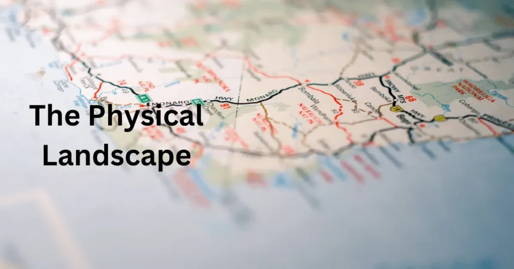
What Does Topography Mean?
Topography refers to the arrangement of the natural and artificial features of a particular area, especially the shape and features of the land’s surface.
It’s all about the physical landscape—the mountains, hills, valleys, rivers, lakes, and even human-made structures like roads and buildings in a given region.
But when people talk specifically about topography, they are generally referring to the natural features of the land.
In simpler terms, topography focuses on how the land’s surface looks and feels. Is it flat, like a plain? Or is it hilly, mountainous, or uneven?
Topography studies the elevation, landforms, and contours of the Earth’s surface.
These elements give us clues about how the land has formed over time, often due to natural forces like erosion, volcanic activity, or the movement of tectonic plates.
Maps are often used to represent topography, showing us the contours (lines that represent elevation changes) and elevations (the height of land above sea level).
When you’re looking at a map of a mountainous area, for example, the closely spaced lines might indicate steep slopes, while wider spaces between lines show flatter terrain.
To make it more relatable: Think of a mountain trail. As you climb, the path gets steeper, and the surroundings change.
This variation in land shape, from gentle slopes to steep cliffs, is what topography aims to understand and represent.
Topography Meaning: Definition and Examples
Definition
Topography refers to the physical features of the surface of the Earth or any other celestial body.
It includes natural landforms such as mountains, valleys, plains, hills, and rivers, as well as human-made structures like roads, buildings, and bridges.
Essentially, topography is all about the shape, elevation, and layout of the land in a specific area.
In more technical terms, topography involves studying the elevation and contour of landforms, which can be represented visually through topographic maps.
These maps show the 3D shape of the land in a 2D format, using lines (contour lines) to indicate changes in elevation.
Topography also involves the relationship between these physical features, such as how rivers flow through valleys, how mountain ranges form, and how different landforms interact with one another in a particular region.
Examples of Topography
Mountains and Hill
A mountain range, such as the Himalayas or the Rockies, is an excellent example of topography.
These large, elevated landforms can be identified by steep slopes, high peaks, and ridges that rise above the surrounding areas.
The topography of the Himalayas includes numerous peaks that reach heights over 20,000 feet, with valleys in between.
Plains and Plateaus
On the other hand, plains (flat, expansive areas) and plateaus (flat areas that are elevated above the surrounding land) show another aspect of topography.
The Great Plains in North America, for example, are vast flat areas with very little change in elevation. These areas are often ideal for agriculture because of their gentle slopes and fertile soil.
Valleys and Riverbeds
Valleys are lower areas of land that are often created by the erosion of rivers over time.
A perfect example is the Great Rift Valley in East Africa, where the land has dropped between two tectonic plates, creating a long, wide valley.
Similarly, a riverbed is part of the topography of a river, shaped by the flow of water over centuries.
Coasts and Beaches
Coastal regions show a unique topography where land meets the ocean. Beaches, cliffs, and dunes are all part of coastal topography, shaped by the action of waves, tides, and wind.
The coastal topography of places like California’s Pacific Coast or Australia’s Great Barrier Reef shows a combination of sandy beaches, rocky cliffs, and coral reefs.
Deserts
Even in dry environments like deserts, topography plays an important role. The Sahara Desert, for example, has vast sand dunes, rocky plateaus, and dry riverbeds, all part of its unique topography.
These landforms result from a lack of water and the wind’s ability to reshape the landscape.
In short, topography meaning is all about understanding the diverse and varied shapes of the land, whether it’s the towering peaks of a mountain, the gentle slopes of a plain, or the winding path of a river.
Every area has its own topographical features, and studying them helps us understand the Earth’s natural processes and how humans interact with the landscape.
Word Origin of Topography
The word “topography” comes from two Greek words: “topos” meaning “place” or “location,” and “grapho” meaning “to write” or “to describe.”
So, when you break it down, topography essentially means “to describe a place” or “a description of a place.”
Over time, it came to refer specifically to the detailed description or study of the surface features of a particular area, particularly the landforms.
Breakdown of the Word
- Topos (Greek): This word means a place, region, or location. It’s the root for many other words related to place, such as “topical” (related to a specific place or subject) or “topology” (the study of the properties of space that are preserved under continuous transformations).
- Grapho (Greek): Meaning “to write,” this part of the word suggests the action of describing or recording. It’s used in various words related to writing or describing, like “autograph” (a person’s signature) or “graphic” (relating to visual representation).
Together, topography essentially refers to writing or describing the physical characteristics of a place, particularly its surface features—like hills, valleys, rivers, and mountains.
Evolution of the Term
The term topography began to be used in scientific contexts around the 16th century, although maps and the study of land features have been around for centuries.
In its early use, topography referred to the act of describing the land in detail, and it was often used in reference to maps, charts, and geographical studies.
By the 18th and 19th centuries, topography became more specialized as technology and surveying methods improved.
The advent of topographic maps in the 18th century—maps that show the elevation and contour of land—marked a significant shift in how people studied the surface of the Earth.
Today, topography is an essential field in geography, cartography, and environmental science.
In summary, the word topography has its roots in ancient Greek, reflecting its origins as the art and science of describing and mapping the physical features of the land.
From its early use as a general description of landscapes to its modern role in scientific studies and cartography, the term has evolved to become fundamental to understanding the Earth’s surface.
FAQs
What is the main purpose of studying topography?
The main purpose of studying topography is to understand the natural features of the Earth’s surface, including the shape, elevation, and layout of the land. By studying topography, we can better understand how landforms are created, how water moves across landscapes, and how human activities interact with the natural environment. Topography is essential in various fields like geography, urban planning, environmental science, and even military strategy, where knowing the land’s features can be crucial.
How is topography represented on a map?
Topography is often represented on a topographic map, which uses contour lines to show the elevation and shape of the land. These lines connect points of equal elevation, so by looking at how closely or widely spaced the lines are, you can tell how steep or flat the land is. For example, tightly spaced contour lines indicate steep slopes, while widely spaced lines show flatter terrain. The map may also include symbols for other features like rivers, roads, and buildings.
What are some examples of topographic landforms?
Topographic landforms include mountains, valleys, hills, plains, plateaus, ridges, and deserts. These are natural features that form the landscape of a region. For example:
Mountains are large, elevated landforms with steep slopes and peaks.
Valleys are low areas of land between hills or mountains, often formed by the action of rivers.
Plains are flat, expansive areas of land, typically found in regions with little elevation change.
Each of these landforms represents different aspects of topography, which can be studied to understand the Earth’s physical history and current structure.
Why is topography important for construction and urban planning?
Topography plays a critical role in construction and urban planning because it influences decisions on where to build and how to design infrastructure. For example, building on steep slopes may require expensive retaining walls, while flat land may be more suitable for large buildings and roads. Additionally, topographic maps help planners understand natural water flow, which is vital for drainage systems and flood prevention. Knowing the land’s topography ensures that buildings and infrastructure are built in suitable locations and that the environment is protected.
Can topography change over time?
Yes, topography can change over time due to both natural and human-induced processes. Natural events like earthquakes, volcanic eruptions, erosion, and glaciation can drastically alter the shape of the land. For example, rivers might carve out valleys, while volcanic eruptions can create new mountains. Human activities like mining, construction, and land reclamation also affect topography. Over time, even small changes—like erosion by wind or water—can significantly reshape the landscape.
Conclusion
In conclusion, topography is all about understanding the natural features and shape of the Earth’s surface, from mountains and valleys to plains and rivers.
Whether for mapping, construction, or environmental studies, knowing about topography helps us make better decisions about how we live with and interact with the land.
From ancient times to modern technology, the study of topography continues to play a crucial role in understanding our world.
By studying the land’s features, we gain insights into its history, how it changes, and how we can better plan for the future.
Extra Points on Topography
- Topography Affects Climate: The shape of the land can influence the climate of a region. For example, mountains can block weather patterns, creating different climates on either side. This is why you might find lush, rainy conditions on one side of a mountain range and dry, desert-like conditions on the other.
- Topography and Biodiversity: The variety in topography, such as mountains, valleys, and rivers, creates diverse habitats for wildlife. Different landforms provide different resources for plants and animals, which helps support a wide range of species. This is why areas with varied topography, like rainforests or mountain ecosystems, often have rich biodiversity.
- Topography is Used in Virtual Mapping: With modern technology, we can now study and map topography digitally. Software like Google Earth lets us explore topography from space! These digital maps use satellite images and data to show the terrain of any place on Earth, making it easier for scientists, travelers, and planners to study land features.
- Topography and Navigation: Knowing the topography of an area is crucial for navigation. Hikers, travelers, and even pilots use topographic maps to understand elevation and terrain features. For instance, hikers use these maps to avoid steep areas or identify safe routes across mountains and valleys.
- Human Impact on Topography: Human activities like deforestation, mining, and construction can change the natural topography of an area. This is why it’s important to consider the impact of these activities on the environment. Sustainable development practices help ensure that we don’t harm the landscape when building roads, cities, or other infrastructures.